
West Orange Neighbors by Parcel
Public sources about a West Orange block describe different things. A parcel map gives the physical relationship among lots. Tax maps help orient block and lot numbers. Recorded instruments identify named parties to a transfer. Election-district lists can carry defined voter fields under State law. Library sources can place people in a historical setting. Those records do not combine into a current list of everyone who lives nearby. Use them to answer the narrow question each keeper can support.
| Block source | What it shows around an address | Access and limit |
|---|---|---|
| NJGIN Property Explorer | Parcel geometry and address, municipality, block, and lot navigation | Public map; geometry is not a legal survey and State-hosted owner redactions apply. |
| West Orange tax maps | Local key-map context and block/lot layout | Township map PDFs; they are not a resident list. |
| Essex PRESS | Recorded parties and instrument history for an adjoining parcel | Public index; complete title work remains a Register route. |
| Election-district registry list | Specified registered-voter fields in a district and street structure | Statutory request process; protected addresses and signatures are omitted. |
| Library directories and Chronicle | Historical household or neighborhood references | Time-bound sources; a reverse-directory run has not been verified. |
| Community organizations | Public contact and participation information | No verified household or membership directory was located. |
The key distinction is owner, recorded party, registered voter, and historical household. An adjoining parcel can have an owner associated with an annual assessment record, while a deed may name an earlier transfer party. Neither record establishes every occupant. That limit keeps a neighbors search tied to documented facts rather than assumptions.
Map West Orange Neighbors
The official West Orange method is map browsing, not a published abutters tool. NJGIN Property Explorer accepts address, county, municipality, block, and lot. Set the municipality to West Orange, locate the focal parcel, inspect the surrounding shapes, and write down the block and lot for each adjoining parcel. The Township’s 2025 tax maps add local key-map orientation when a street address needs to be translated into a map page.
The NJGIN parcel-data page provides the visual context for that first step.
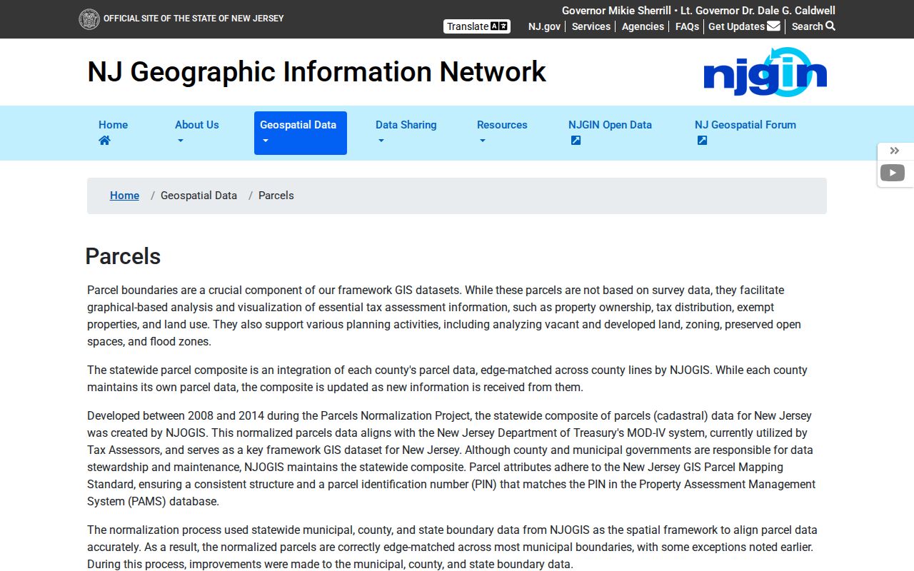
Use the adjacent outlines to build a short list of parcels, then verify each property identifier in the matching official record. For a full named-street record chain rather than the immediate block, use the West Orange street directory.
Address to block flow: focal address → West Orange parcel → surrounding parcel shapes → each block and lot → recorded instrument or dated historical source.
West Orange Neighbors and Map Edges
A parcel edge can be useful, but it is not a legal boundary. NJGIN describes its statewide geometry as normalized and tied to the assessment system, while expressly warning that the polygons are not survey data. County stewardship remains the proper route for current county parcel information. The map should therefore orient research, not resolve a boundary dispute or prove access rights.
This is also a West Orange quirk: State material describes owner information in property data, yet NJGIN says owner names have been redacted from State-hosted parcel and tax-list downloads, map services, and applications under Daniel’s Law. A missing name on the State map is not a cue to seek around the protection. It is a reason to preserve the parcel identifier and use the lawful custodian route for the particular question.
Note: The physical parcel map is a navigation aid, while the instrument and the applicable custodian record carry the legal evidence.
West Orange Neighbor Instrument Trail
Once an adjoining block and lot is known, the Essex Register’s PRESS system can locate related recorded instruments. Select West Orange, use the block-and-lot route, keep the date range within the portal’s 90-day maximum, and retain the instrument number or book/page. The name route can then help follow a named grantor or grantee, but a same-name hit still needs the property’s legal description and document placement.
PRESS displays online records from October 1, 1996, not the Register’s full history. Its own notice says the results are informational and not a title search. When a block question reaches an older transfer or a complete title question, use the Register’s public-record room in Newark for the appropriate in-person work. The New Jersey State Archives offers an additional historical route through county-deed microfilm, while original deeds stay with the county.
The West Orange Tax Collector page provides separate municipal tax and tax-sale context. A tax sale concerns unpaid charges and produces a lien, not a statement about who occupies the parcel or a transfer of the property itself.
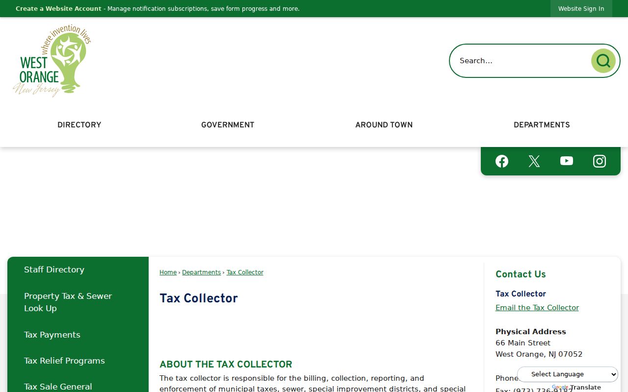
Keep a tax certificate, assessment entry, and recorded instrument in separate notes. Each names a different event in the property record.
Trace West Orange Neighbors Carefully
Mapping a block works when each step is kept modest. Start with a location, not a neighbor name. The resulting parcel sequence can show which lots adjoin the target and which recorded documents belong to those lots. It cannot establish present occupancy or turn a property boundary into a survey result.
- Locate the focal address in Property Explorer with Essex County and West Orange selected.
- Inspect surrounding parcel shapes and record the block and lot for the immediately adjoining parcels.
- Use PRESS for a relevant recorded instrument, then test the legal description and date against the same parcel.
- Use a dated library source only when the question is historical, and label it with its publication date.
When the question expands from a few adjacent parcels to an entire road, the address sequence belongs in the West Orange street directory process rather than a neighbor lookup.
West Orange Neighbors by Election District
New Jersey treats the individual voter confirmation tool and registry-list copies differently. Under N.J.S.A. 19:31-18 and 19:31-18.1, an election-district registry list can include name, address, date of birth, party affiliation, and voting history. The statutory example uses street and residence-number organization. It omits signatures and an approved covered person’s home address. Voting history is participation history, never ballot choices.
The statute says a county clerk provides a voter who applies a district list for $0.25, while the requester conditions and other statutory list rules still apply. The correct route is the responsible Essex election official, not extracting names from the personal voter-confirmation tool.
The statutory voter-list access source records those defined limits.
Registry material can establish only what the list law releases at its stated time. It does not identify every adult living on a block, and it cannot be used for commercial or charitable solicitation.
West Orange Neighbors in History
Historical neighbors need a date. West Orange Public Library identifies the Directory of the Oranges on microfilm from 1879 through 1956 and the West Orange Chronicle on microfilm from 1942 to the present. A particular issue or volume may associate a name, address, street, or neighborhood reference with a moment in time. The public Library description does not verify a separate citywide reverse-directory run, so an address-to-occupant claim needs inspection of the actual collection.
The Township history resource preserves the broader local setting that helps distinguish place names in old material.
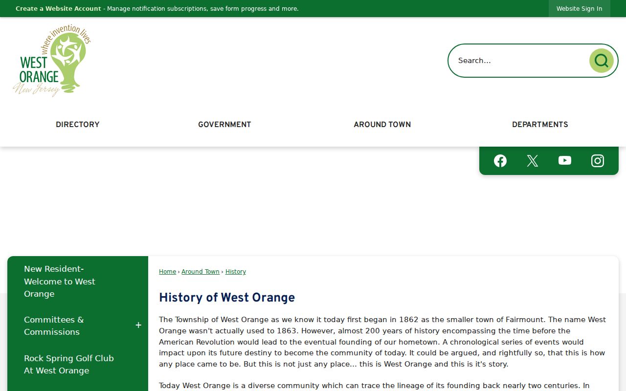
Use a directory or newspaper page with the date and page citation, then compare it to the parcel and recorded-document trail instead of projecting it into the present.
West Orange Neighborhood Record Names
Neighborhood terms can help interpret an older reference but do not replace a municipal locator. Township descriptions identify Downtown West Orange and The Valley, Pleasantdale, and the western Second Mountain area with South Mountain Reservation context. The Community Map adds Gregory, Hutton Park, Llewellyn Park, St. Cloud, St. Mark’s, Valley or Orange Valley, Tory Corner, and Watchung Heights or Eagle Rock. A nearby community name can mislead a property search, so retain West Orange plus the block and lot in a record note.
The official West Orange Community Map provides those place-name cues.
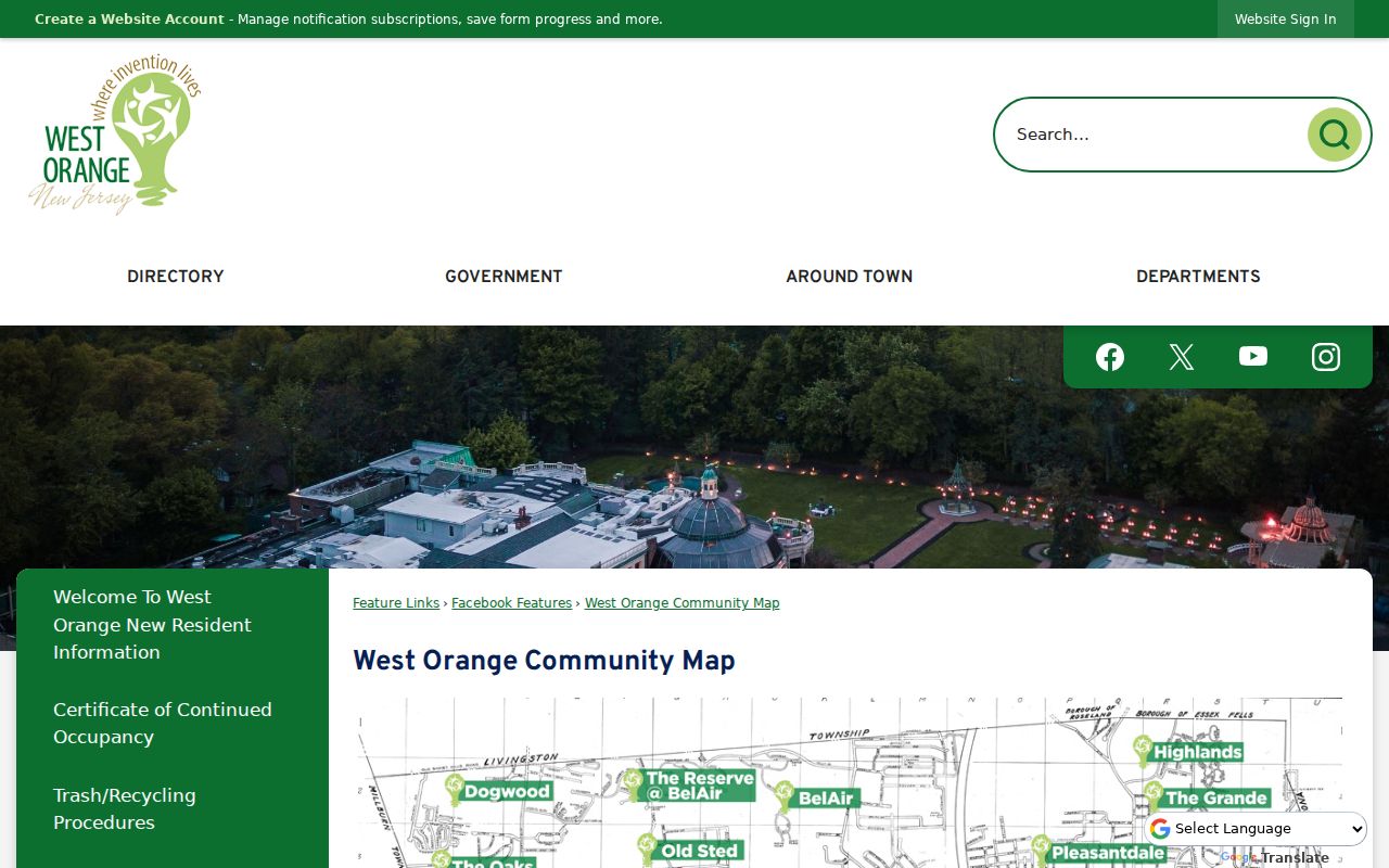
Match a neighborhood label to the document’s time and place, then use parcel identifiers to test whether it is the same block.
West Orange Neighbor Contact Limits
Public civic contact is different from a household roster. The official research located Township community-services information and public contacts, but did not verify a Township neighborhood-association directory or a member directory. Community organizations, congregations, civic groups, preservation groups, and block-watch efforts may offer opt-in participation routes. Their public contact page does not make personal member details public.
The Township’s Community Services Unit is a verified starting point for public area context.
Use public channels to ask about meetings, services, or participation. Do not assume that any group maintains a searchable household directory.
| Source type | Useful for | Not a substitute for |
|---|---|---|
| Official parcel and recorded records | Property identifiers and documented transaction parties | A list of current occupants |
| Election-district process | Defined statutory voter-list fields | Ballot choices, signatures, or protected addresses |
| Commercial neighbor-search category | A lead that requires independent verification | An official record or permission to contact someone |
| Public civic contact | Opt-in community participation | A private membership roster |
West Orange Neighbor Privacy Limits
Daniel’s Law can protect a covered person’s address in State-hosted parcel data and voter materials. Court and vital records also follow their own access rules, while motor-vehicle information has federal privacy protections. A parcel owner, a voter, a court party, and a person named in a historical directory are not interchangeable identities. A map neighbor is simply an adjacent parcel, not proof of who lives in either building.
When information appears wrong or incomplete, contact the custodian responsible for that record. Do not use delivery, utility, motor-vehicle, or informal sources to work around a protected-address redaction. West Orange neighbors are best understood through narrow, dated official records and voluntary community contact.
Lawful use. Respect protected addresses and use records only for lawful personal research. Stalking, harassment, intimidation, or exposing a protected person can violate New Jersey law.